Skip to content
Map of Lofthus
Add the first photo
Boat entry

Lofthus

Florida, United States
Open Water suggestedSurge over the shallow wreckage, boat traffic close to shore, shifting sand that can expose or bury sharp iron hull plates, fishing line. Underwater Archaeological Preserve5–6 m (15–20 ft) depthBoat entryRash guard or 2mm shorty typical

Boat dive — see Entry & access.

Lofthus at a glance

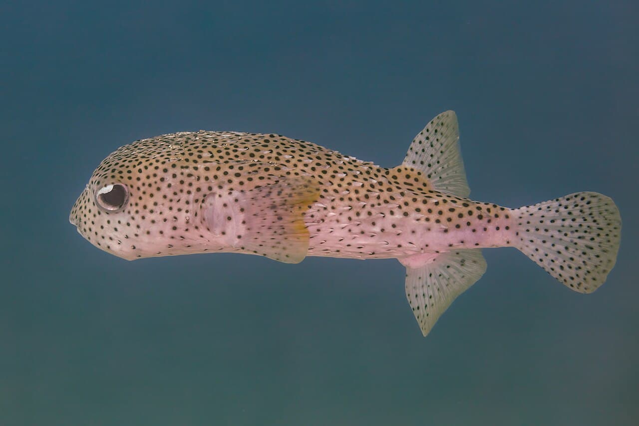
Lofthus is a boat dive site in Florida, United States with depths of 4.6–6.1 m (15–20 ft). Typically most favorable Jul · from 3 years of archive data. Divers commonly see Caribbean spiny lobster, Porkfish, and Gray snapper. Recent reports put the water around 29°C (84°F). Check the latest conditions and entry details before you go.

No window today· next: Wed 8:00–19:00 · favorable & moderate

Forecast for this hour · 7:00 · run 5 h ago
3.8 m (12.3 ft)waves — about four meters expected (waves — about 12 feet expected)

Tap a factor for its source and model point · Forecast 29°C · seasonal avg 29°C ( · Forecast 84°F · seasonal avg 84°F)

Site hazards: Surge over the shallow wreckage, boat traffic close to shore, shifting sand that can expose or bury sharp iron hull plates, fishing line. Underwater Archaeological Preserve

Read the full hazards ↓

Dive windows this week

MonNo window

3.9 m waves · 27 kn wind (12.9 ft waves · 27 kn wind)

TueNo window

4.2 m waves · 25 kn wind (13.6 ft waves · 25 kn wind)

Wed8:00–13:00 moderate, 13:00–19:00 favorable

2.1 m waves · 14 kn wind (6.8 ft waves · 14 kn wind)

Thu8:00–19:00 favorable

1.5 m waves · 9 kn wind (4.8 ft waves · 9 kn wind)

Fri8:00–19:00 favorable

1.1 m waves · 11 kn wind (3.7 ft waves · 11 kn wind)

Sat8:00–19:00 favorable

1.3 m waves · 8 kn wind (4.3 ft waves · 8 kn wind)

Sun8:00–19:00 favorable

1.1 m waves · 9 kn wind (3.6 ft waves · 9 kn wind)

Favorable windowModerate window— no window

Every forecast dive window each day, site-local time, from wave and wind forecasts. Numbers under each bar are daylight averages.

First light 7:02 · Sunrise 7:25 · Sunset 18:42 · some windows run past sunset

Source: Open-Meteo marine · model point 18 km from site · updated 26 Oct, 01:26 GMT-4

Forecast only — always assess conditions on site.

Compare this weekend’s windows near Lofthus

Forecast · NOAA tide model

Tide & slack timing

Loading tide predictions

Recent diver reports

Dated firsthand observations from divers — not current conditions.

No diver reports for this site yet. — one dated observation helps every diver after you.

Dived here today — did the forecast match?

What Divers Say

Known for: Caribbean spiny lobster, Porkfish, Gray snapper
Best time: Calm, flat summer days; visibility varies with swell and sand movement, which periodically buries parts of the wreck.

Based on community reviews and site data. Conditions vary — always verify before diving.

Best months, historically

What conditions have historically been typical at this site, month by month — not a forecast.

  1. January, 80% of days have historically been favorable, water has typically been 24°C (75°F), waves have typically been 1.3 m (4.3 ft), wind has typically been 11 knots
  2. February, 79% of days have historically been favorable, water has typically been 24°C (76°F), waves have typically been 1.2 m (4.1 ft), wind has typically been 11 knots
  3. March, 66% of days have historically been favorable, water has typically been 25°C (76°F), waves have typically been 1.3 m (4.3 ft), wind has typically been 12 knots
  4. April, 83% of days have historically been favorable, water has typically been 26°C (78°F), waves have typically been 1.2 m (3.9 ft), wind has typically been 11 knots
  5. May, 97% of days have historically been favorable, water has typically been 27°C (81°F), waves have typically been 0.8 m (2.7 ft), wind has typically been 10 knots
  6. June, 96% of days have historically been favorable, water has typically been 29°C (84°F), waves have typically been 0.7 m (2.4 ft), wind has typically been 10 knots
  7. July, 100% of days have historically been favorable, water has typically been 30°C (87°F), waves have typically been 0.5 m (1.7 ft), wind has typically been 8 knots, historically most favorable
  8. August, 92% of days have historically been favorable, water has typically been 31°C (88°F), waves have typically been 0.8 m (2.7 ft), wind has typically been 9 knots
  9. September, 88% of days have historically been favorable, water has typically been 31°C (87°F), waves have typically been 1.1 m (3.5 ft), wind has typically been 8 knots
  10. October, 59% of days have historically been favorable, water has typically been 29°C (84°F), waves have typically been 1.6 m (5.1 ft), wind has typically been 11 knots
  11. November, 70% of days have historically been favorable, water has typically been 27°C (81°F), waves have typically been 1.4 m (4.5 ft), wind has typically been 10 knots
  12. December, 63% of days have historically been favorable, water has typically been 26°C (78°F), waves have typically been 1.5 m (5.0 ft), wind has typically been 10 knots

July has typically had the largest share of favorable days here. Conditions vary year to year — this is historical context, not a forecast.

Based on 3 years of archive data. Bar height shows the share of days each month whose conditions have historically scored favorably.

Marine life seen at this site

Species noted at this site — not a promise of what you’ll encounter.

Species seen here

Rough labels: “Commonly seen” usually means two or more recorded sightings near this site in public dive logs (GBIF), “Occasionally seen” one; “Seasonal” and “Rarely seen” come from dive-guide research. Not a measured rate.

Fills & rentals nearby

No dive shops mapped within 25 km (16 mi). Know one? Add it to the map.

Data updated July 2026

Site details

The Lofthus, a 222-ft iron-hulled Norwegian barque built in 1868, wrecked off Manalapan in 1898 while carrying lumber from Pensacola to Buenos Aires. The scattered iron hull now lies in 15-20 ft of water about 175 yards offshore, three-quarters of a mile north of Boynton Inlet, and was designated Florida's eighth Underwater Archaeological Preserve in 2004 and listed on the National Register of Historic Places. Sand movement alternately exposes and buries the wreckage, which shelters lobster, grunts, porkfish and rays.

boatwreck

Surge over the shallow wreckage, boat traffic close to shore, shifting sand that can expose or bury sharp iron hull plates, fishing line. Underwater Archaeological Preserve — removing or disturbing anything is illegal; do not anchor on the wreck.


Reviews

No reviews yet — this site is waiting for its first. Dived here? Your rating and a few lines help the next diver.


Spot something off?

Help keep this listing accurate for the next diver.