
Find your next dive.
Search 4,837 dive sites with maps, depths, entry points, dated diver reports, and 7-day condition outlooks.
Dive this weekend
Favorable windows this weekend
7-day forecast windows
Thu 6:00–21:00
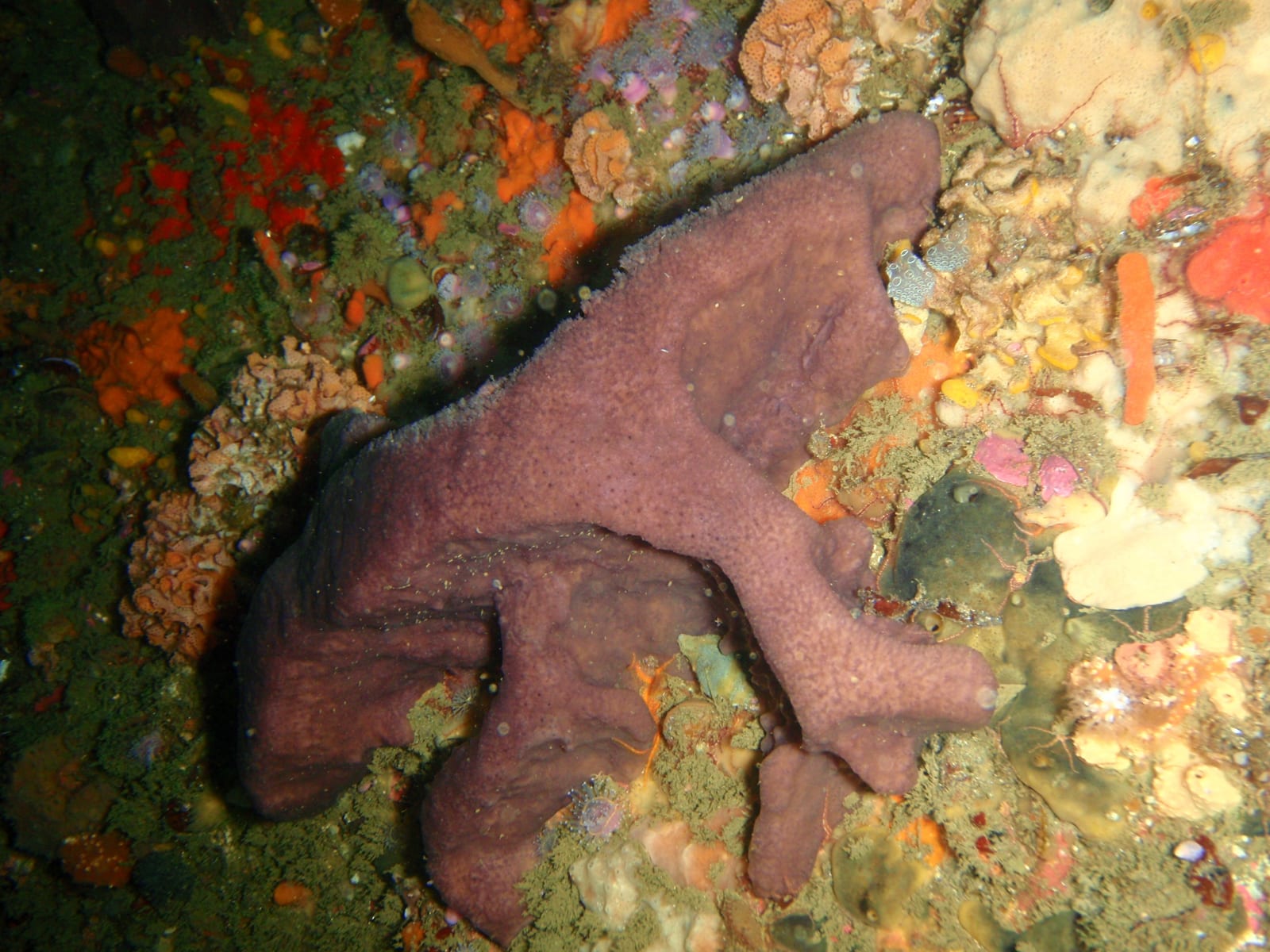
Canyon
Wave 0.0 m · Wind 2 kts · Water 24°C
From the current forecast · graded 9h ago
Tide & slack timing
Slack Tue 17:08
Cartanser Sr Wreck
Tide falling · Station 9751639 · 2.0 km from site
Wave 0.9 m · Wind 13 kts · Water 29°C
From the current forecast · graded 9h ago
Season & diver reports
Water 13°C
13th Apostle
Water 13°C · 7mm or semi-dry + hood
No dated diver reports for this site yet — be the first to report after your dive.
Historically most favorable in April · 3 yrs of model history
From the current forecast · graded 9h ago
Forecast only — always assess conditions on site.
Open the weekend plannerChoose your path
Start from how divers actually plan.
Quick lookups before a dive, or deeper research before a trip — find a site, browse a region, compare weekend options, or read a guide.
Search a known site
Depth, access, difficulty, photos, reviews, and conditions when a site is already on your mind.
Search nowTrip inspirationBest places to dive
A ranked guide to the destinations and famous sites people research first.
Open guideBest for browsingExplore by map
Scan coastlines, compare clusters, and open site pages from the full-screen map.
Open mapDecision helperPlan this weekend
Compare nearby options by forecast window, condition context, and drive time.
Try plannerFamous sitesRead dive guides
Richer pages for iconic sites with planning notes, FAQs, and safety context.
View guidesDestinations
Where the world dives
 1,024 sites
United States
Florida wrecks to Hawaiian lava tubes
Shore + boat · all levels 265 sites
Egypt
Red Sea reefs, walls and the wrecks of the north
Mostly boat 73 sites
Mexico
Cenote caverns and Caribbean drift dives
Shore + cavern 102 sites
Australia
The Great Barrier Reef and beyond
Mostly boat 28 sites
Greece
Mediterranean caves, walls and ancient seabeds
Mostly shoreMarine life
What divers have recorded
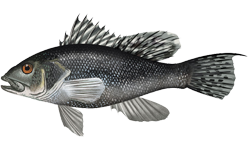
Black sea bass
Common · recorded at 343 sites
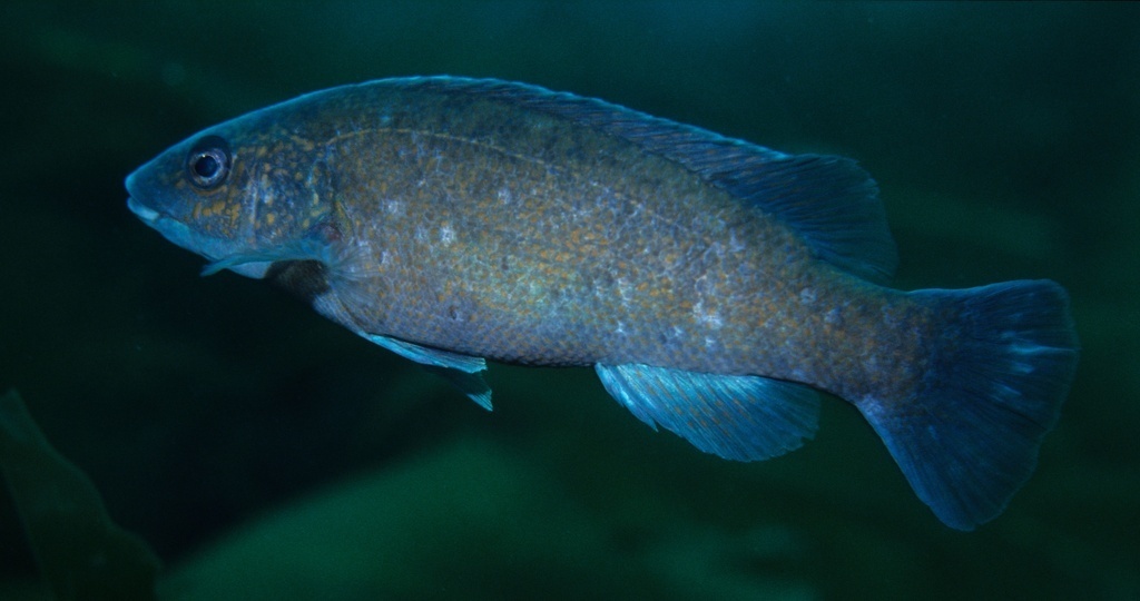
Tautog (blackfish)
Common · recorded at 248 sites
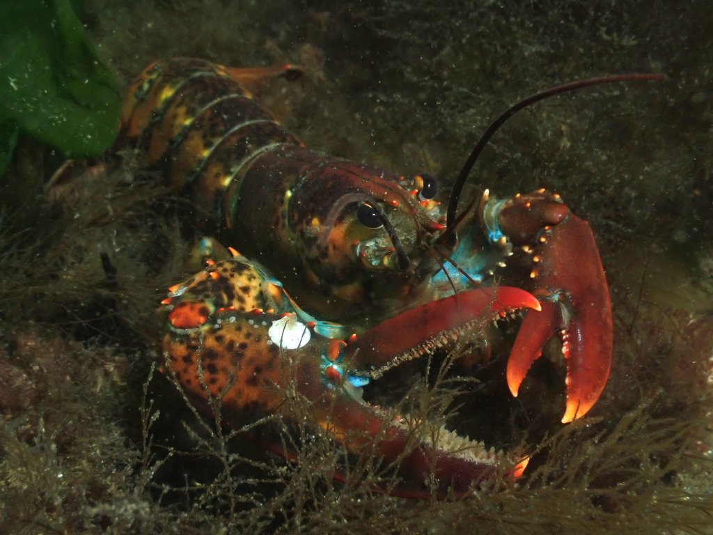
American lobster
Common · recorded at 237 sites
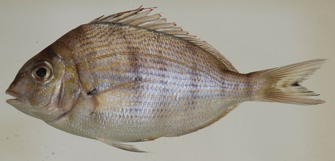
Scup (porgy)
Common · recorded at 237 sites
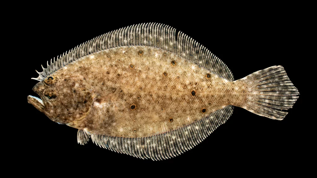
Summer flounder (fluke)
Seasonal · recorded at 234 sites
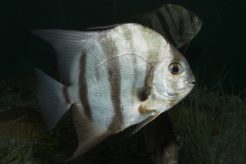
Atlantic spadefish
Common · recorded at 207 sites
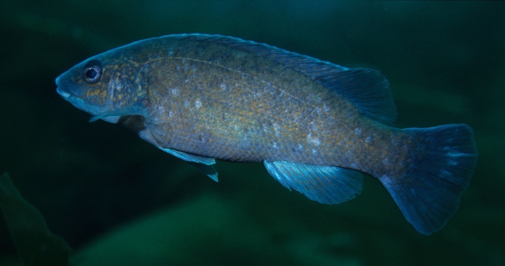
Cunner
Common · recorded at 205 sites
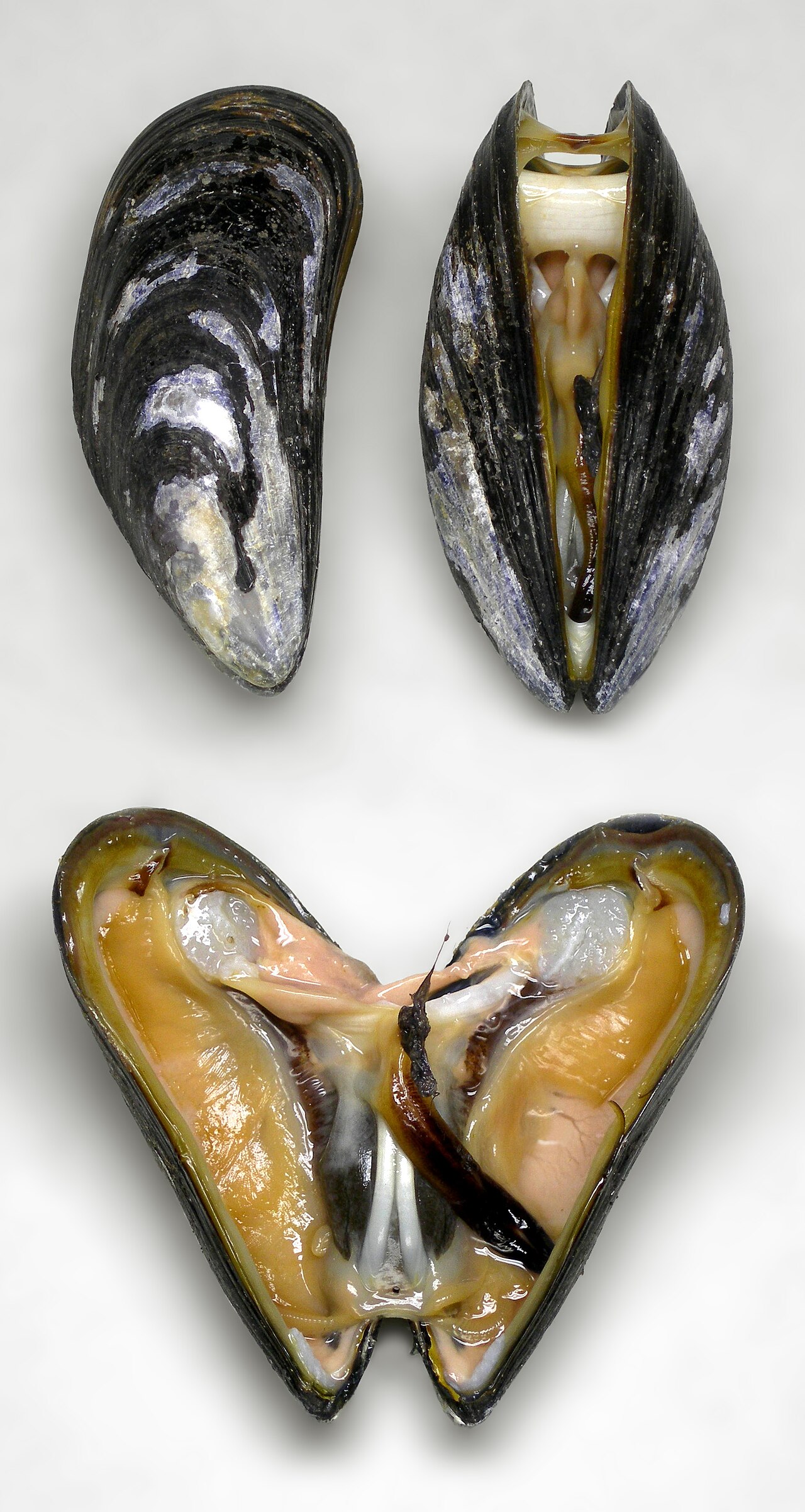
Blue mussel
Common · recorded at 184 sites
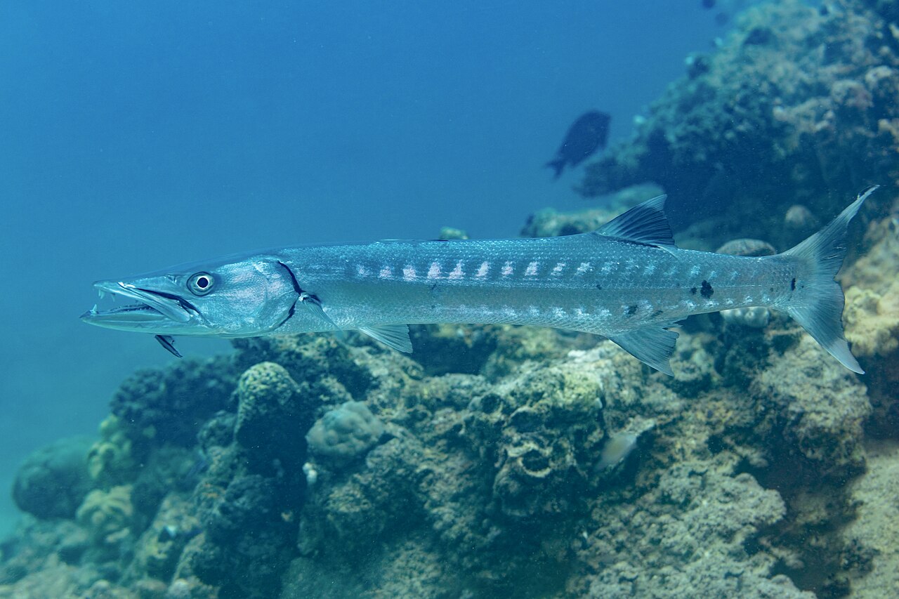
Great barracuda
Common · recorded at 182 sites
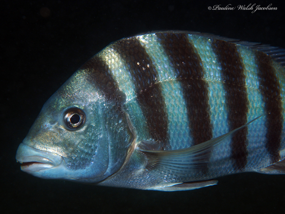
Sheepshead
Common · recorded at 171 sites
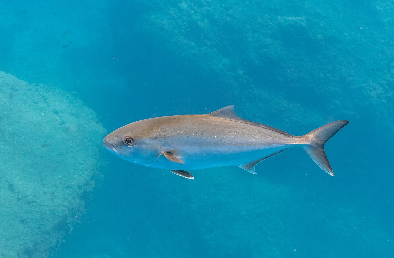
Greater amberjack
Common · recorded at 147 sites
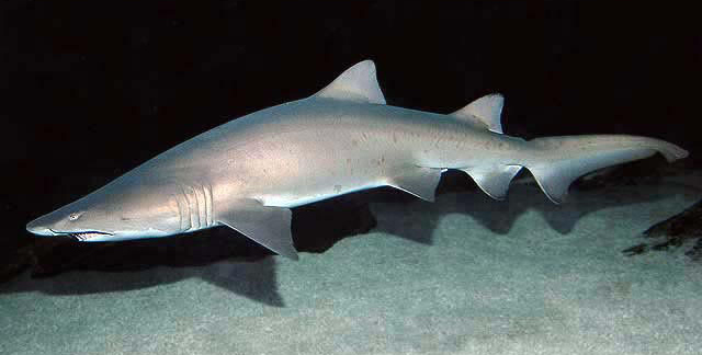
Sand tiger shark
Occasional · recorded at 131 sites
Featured dive guides
Richer pages for the dives people research first.
Article-style pages for famous sites, with extra planning notes, FAQs, hazards, and links to nearby sites and regions.
Start here
Best places to scuba dive
A ranked guide connecting bucket-list destinations to map pages, famous-site guides, condition context, and practical planning questions.
Open the ranked guide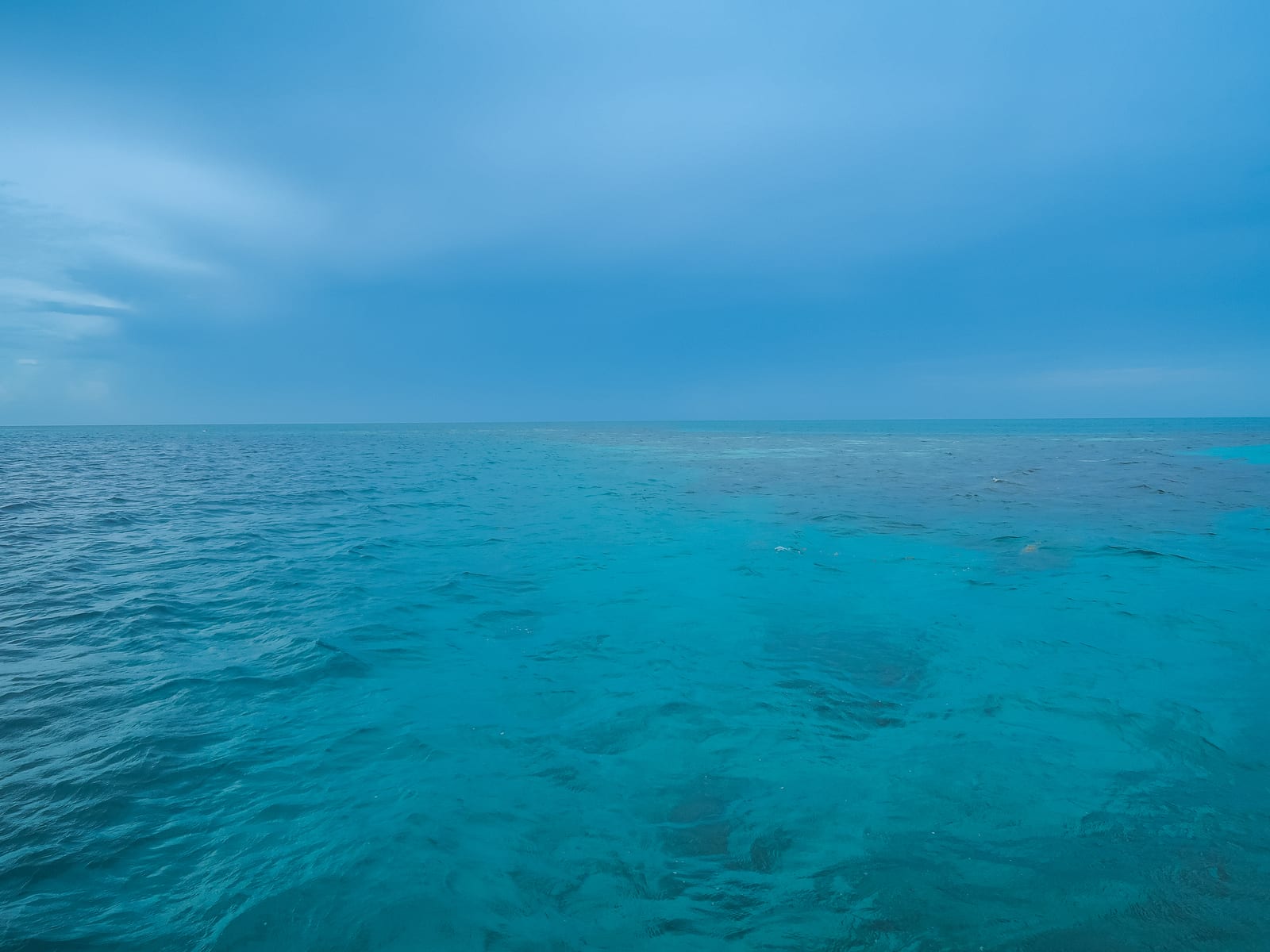
Belize
Great Blue Hole
Belize guide with deep-dive context, Lighthouse Reef geography, boat logistics, and practical operator-planning questions.
Read guide →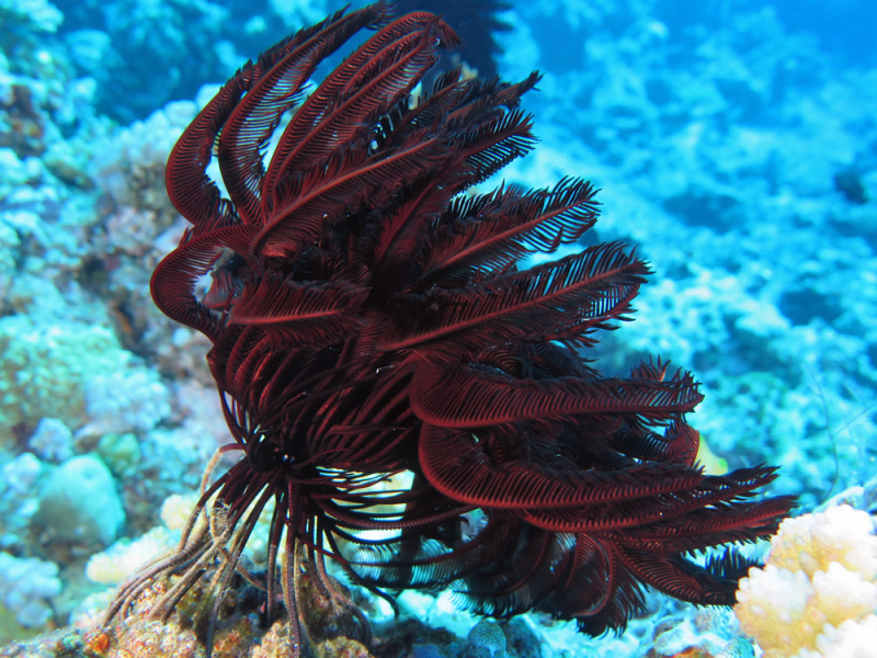
Great Barrier Reef, Australia
Cod Hole
Northern Great Barrier Reef guide focused on potato cod encounters, liveaboard logistics, reef health, and remote-site planning.
Read guide →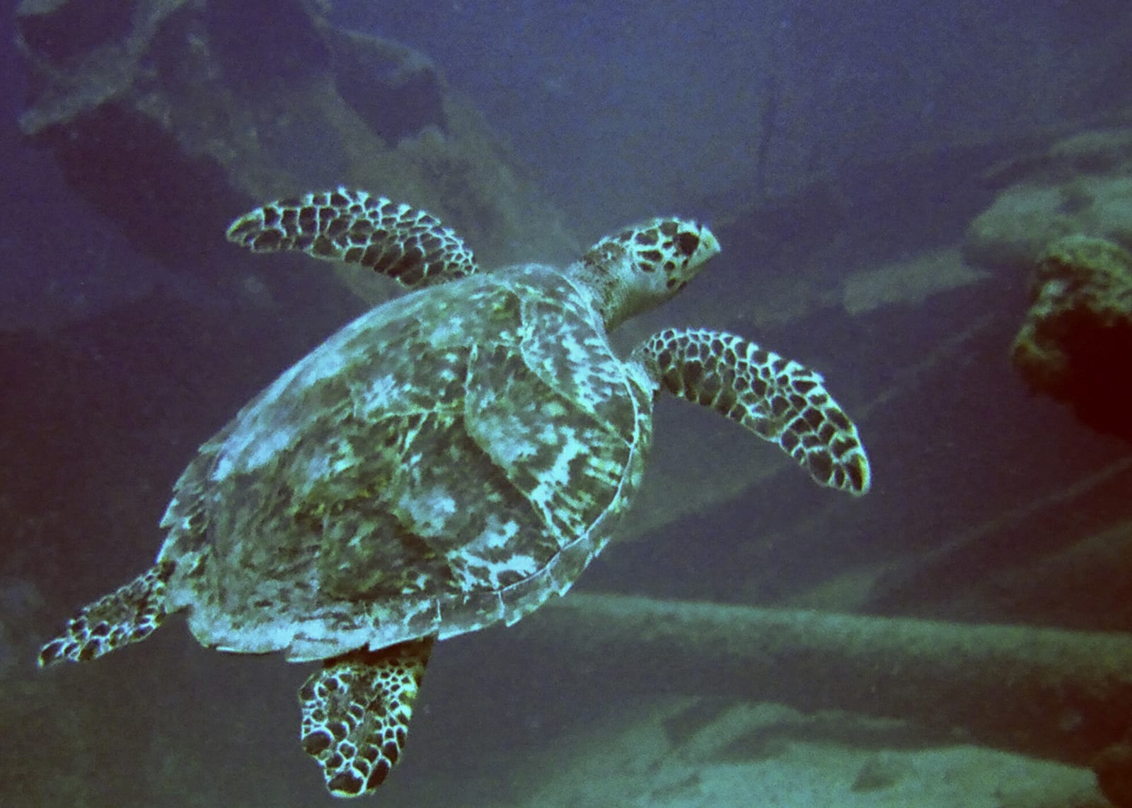
Aruba
MS Antilla
Aruba wreck guide for shallow wreck expectations, boat traffic, storm-broken structure, and conservative route planning.
Read guide →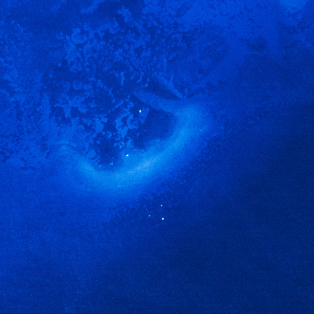
Key Largo, Florida
Molasses Reef
Key Largo reef guide with Sanctuary Preservation Area context, boat access, reef character, and condition checks.
Read guide →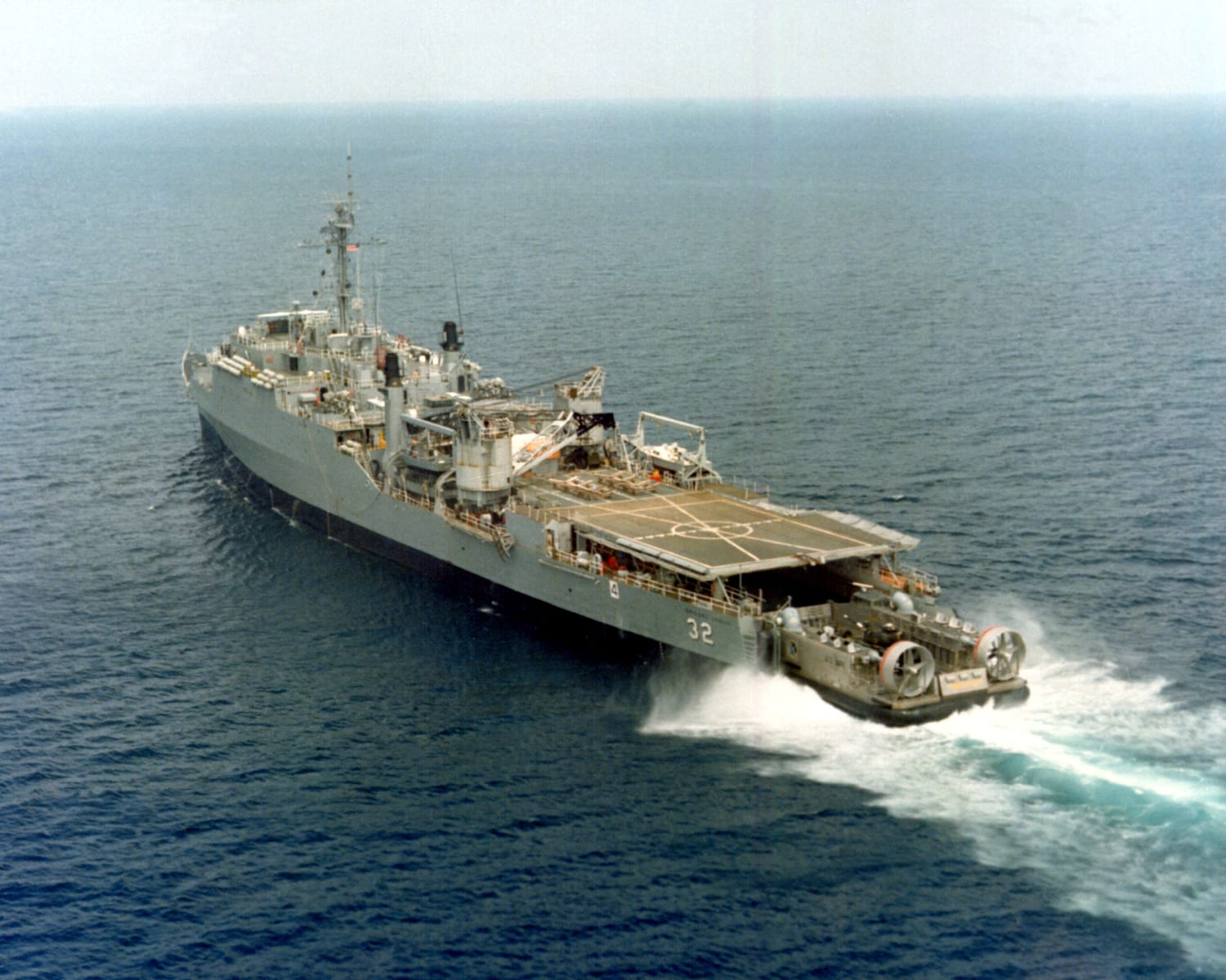
Key Largo, Florida
Spiegel Grove
Large artificial-reef wreck guide for advanced planning, depth, penetration caution, and Key Largo internal linking.
Read guide →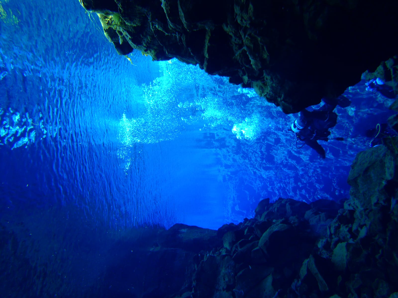
Thingvellir, Iceland
Silfra
Cold-water fissure guide with drysuit requirements, park logistics, visibility expectations, and FAQs.
Read guide →Highest-rated by divers
See all on the map →No diver ratings yet — reviews are still coming in. A site appears here once divers rate it after their dives.
Every site page
Know before you go — answered before you commit.
Shore-dive precision
GPS entry and exit points, parking notes, and hazards — not just a marker somewhere in the bay.
Honest difficulty
Beginner to expert ratings with depth ranges and required certification, so you dive within your training.
Dated context, not promises
Forecast windows, seasonal history, and diver reports that carry their date and source — “Viz 12 m · 14 Jul” beats “usually great.”
Canyon · Croatia
From the current forecast · graded 9h ago
Dive windows this week
Best: ThuFavorable windowModerate window
Seasonal history
Historically favorable in every month · 3 yrs of model history
Source: Open-Meteo marine · model point 1.6 km from site
Forecast only — always assess conditions on site.
For returning divers
Follow your sites. Get a weekend radar.
Browsing never needs an account. Signing up turns PickADive into a radar for the sites you actually dive.
- Followed sites sort by their soonest favorable window — one glance answers Thursday's question.
- Bookmark a shortlist while researching the next trip.
- Your reports and reviews stay with the site — and with your profile.
Your dive deck
Follow a site to see its weekend windows.
Explore first — the account prompt only appears when you follow, bookmark, or report. Your research lands on one dashboard, on any device.
Built to be checked.
Every forecast names its model and distance. Every sighting claim carries a record count. Every diver report carries its date. When we don’t know, the page says so.
Diver reports and corrections will be counted here as they arrive — never seeded, never faked.
Data from OpenStreetMap · Wikidata · NOAA · GBIF · Open-Meteo — each kept with its license and provenance.

Start with a site, a map, or this weekend.
Search public dive sites for free, then save the ones worth coming back to.