Skip to content
Map of Tasmania (wreck)
Add the first photo
Boat entry

Tasmania (wreck)

Ontario, Canada
Open Water suggestedOpen-water offshore site in the Pelee Passage, a historically treacherous channel that has sunk over 250 ships and still carries boat traffic12 m (39 ft) depthBoat entry

Boat dive — see Entry & access.

Tasmania (wreck) at a glance

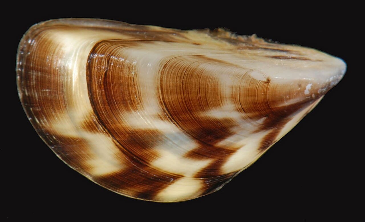
Tasmania (wreck) is a boat dive site in Ontario, Canada with depths of up to 12 m (39 ft). Typically most favorable Sep · from 3 years of archive data. Divers commonly see Zebra mussels (encrusting the wreckage). Check the latest conditions and entry details before you go.

Next window today· 8:00–19:00 · favorable · sunset 18:32

Wind forecast for this hour · 1:00 · run under 1 h ago
—

Tap a factor for its source and model point

Site hazards: Open-water offshore site in the Pelee Passage, a historically treacherous channel that has sunk over 250 ships and still carries boat traffic

Read the full hazards ↓

Dive windows this week

Mon8:00–19:00 favorable

8 kn wind (8 kn wind)

Tue8:00–18:00 favorable, 18:00–19:00 moderate

12 kn wind (12 kn wind)

Wed8:00–19:00 favorable

6 kn wind (6 kn wind)

Thu8:00–10:00 moderate

15 kn wind (15 kn wind)

Fri9:00–19:00 favorable

7 kn wind (7 kn wind)

Sat9:00–19:00 favorable

6 kn wind (6 kn wind)

Sun9:00–19:00 favorable

8 kn wind (8 kn wind)

Favorable windowModerate window— no window

Every forecast dive window each day, site-local time, from wind forecasts. Numbers under each bar are daylight averages.

First light 7:26 · Sunrise 7:55 · Sunset 18:32 · some windows run past sunset

Source: Open-Meteo wind · updated 26 Oct, 01:27 GMT-4

Forecast only — always assess conditions on site.
Compare this weekend’s windows near Tasmania (wreck)

Recent diver reports

Dated firsthand observations from divers — not current conditions.

No diver reports for this site yet. — one dated observation helps every diver after you.

Dived here today — did the forecast match?

Best months, historically

What conditions have historically been typical at this site, month by month — not a forecast.

  1. January, 35% of days have historically been favorable, wind has typically been 16 knots
  2. February, 36% of days have historically been favorable, wind has typically been 16 knots
  3. March, 32% of days have historically been favorable, wind has typically been 16 knots
  4. April, 42% of days have historically been favorable, wind has typically been 15 knots
  5. May, 65% of days have historically been favorable, wind has typically been 13 knots
  6. June, 59% of days have historically been favorable, wind has typically been 13 knots
  7. July, 78% of days have historically been favorable, wind has typically been 11 knots
  8. August, 82% of days have historically been favorable, wind has typically been 11 knots
  9. September, 82% of days have historically been favorable, wind has typically been 11 knots, historically most favorable
  10. October, 53% of days have historically been favorable, wind has typically been 14 knots
  11. November, 38% of days have historically been favorable, wind has typically been 16 knots
  12. December, 44% of days have historically been favorable, wind has typically been 16 knots

September has typically had the largest share of favorable days here. Conditions vary year to year — this is historical context, not a forecast.

Based on 3 years of archive data. Bar height shows the share of days each month whose conditions have historically scored favorably.

Marine life seen at this site

Species noted at this site — not a promise of what you’ll encounter.

Species seen here

Rough labels: “Commonly seen” usually means two or more recorded sightings near this site in public dive logs (GBIF), “Occasionally seen” one; “Seasonal” and “Rarely seen” come from dive-guide research. Not a measured rate.

Fills & rentals nearby

No dive shops mapped within 25 km (16 mi). Know one? Add it to the map.

Data updated July 2026

Site details

Tasmania (Wrack) is a dive site located in Canada.

wreck

Open-water offshore site in the Pelee Passage, a historically treacherous channel that has sunk over 250 ships and still carries boat traffic — fly a dive flag and maintain surface cover. Cold fresh water, weather and waves that can build quickly on shallow western Lake Erie, and zebra-mussel-encrusted wreckage with sharp edges. The wreck's exact position is unverified, complicating navigation and ascent planning.


Reviews

No reviews yet — this site is waiting for its first. Dived here? Your rating and a few lines help the next diver.


Spot something off?

Help keep this listing accurate for the next diver.